Search for articles or browse our knowledge portal by topic.
PM and Planning
| Project Management and Planning | Project Classification | |||
| Capital Improvement Projects | Safety Projects | Asset Management Projects | Maintenance Projects | |
| 1. Overview | x | x | x | x |
| 2. Planning Consultant Contract Management | x | |||
| 3. Planning Studies and Early Project Management | x | |||
| 4. Project Management Resources | x | x | x | x |
|
x | x | x | x |
|
x | |||
|
x | x | x | x |
|
x | x | x | x |
|
x | x | x | x |
| x = Information from the topic may be applicable for the project classification. | ||||

Terms
The full definitions for terms included in this article (listed below) can be found in the HKP Glossary.
- Area Development District (ADD)
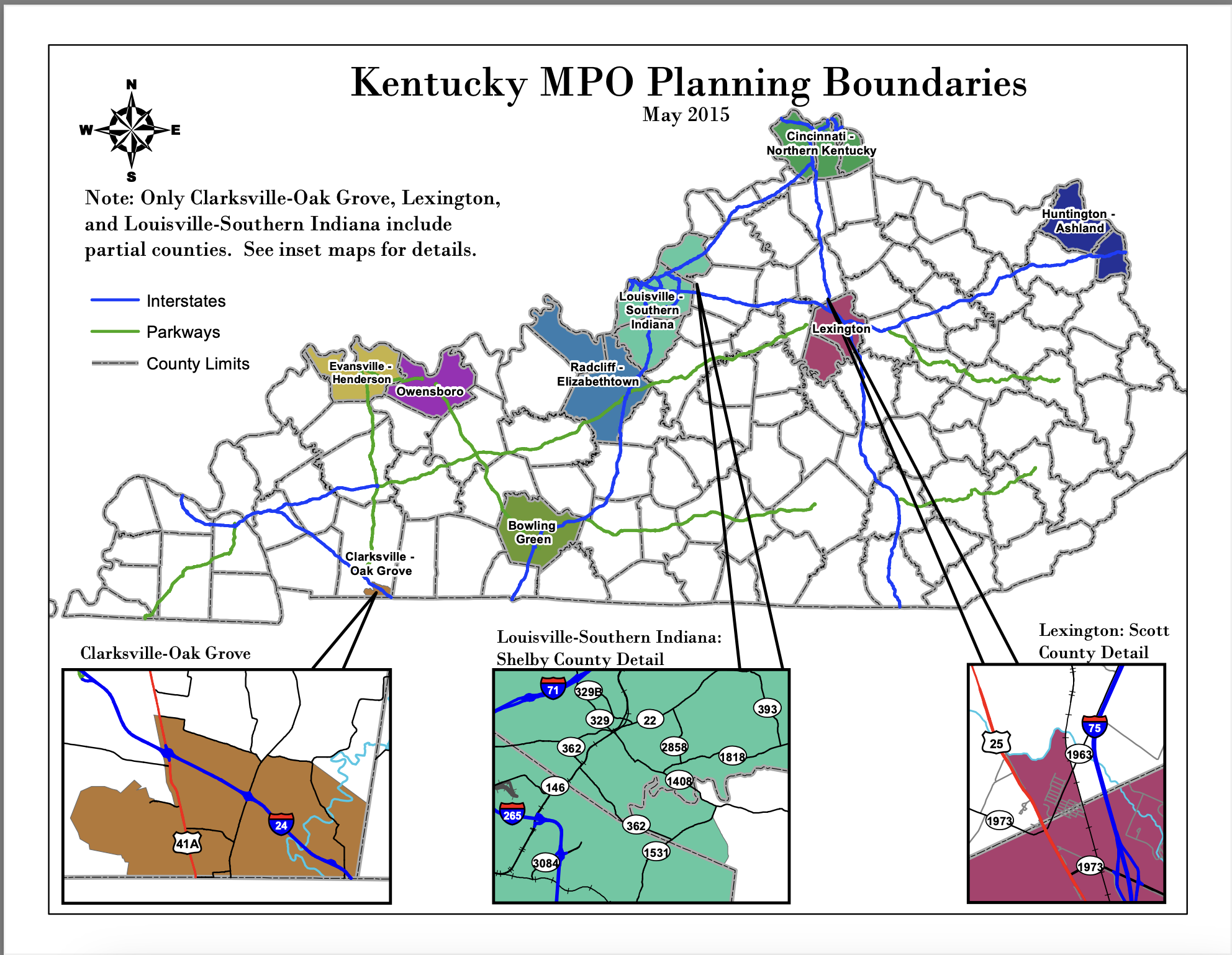
- Metropolitan Planning Organization (MPO)
-
State Primary Road System (SPRS)
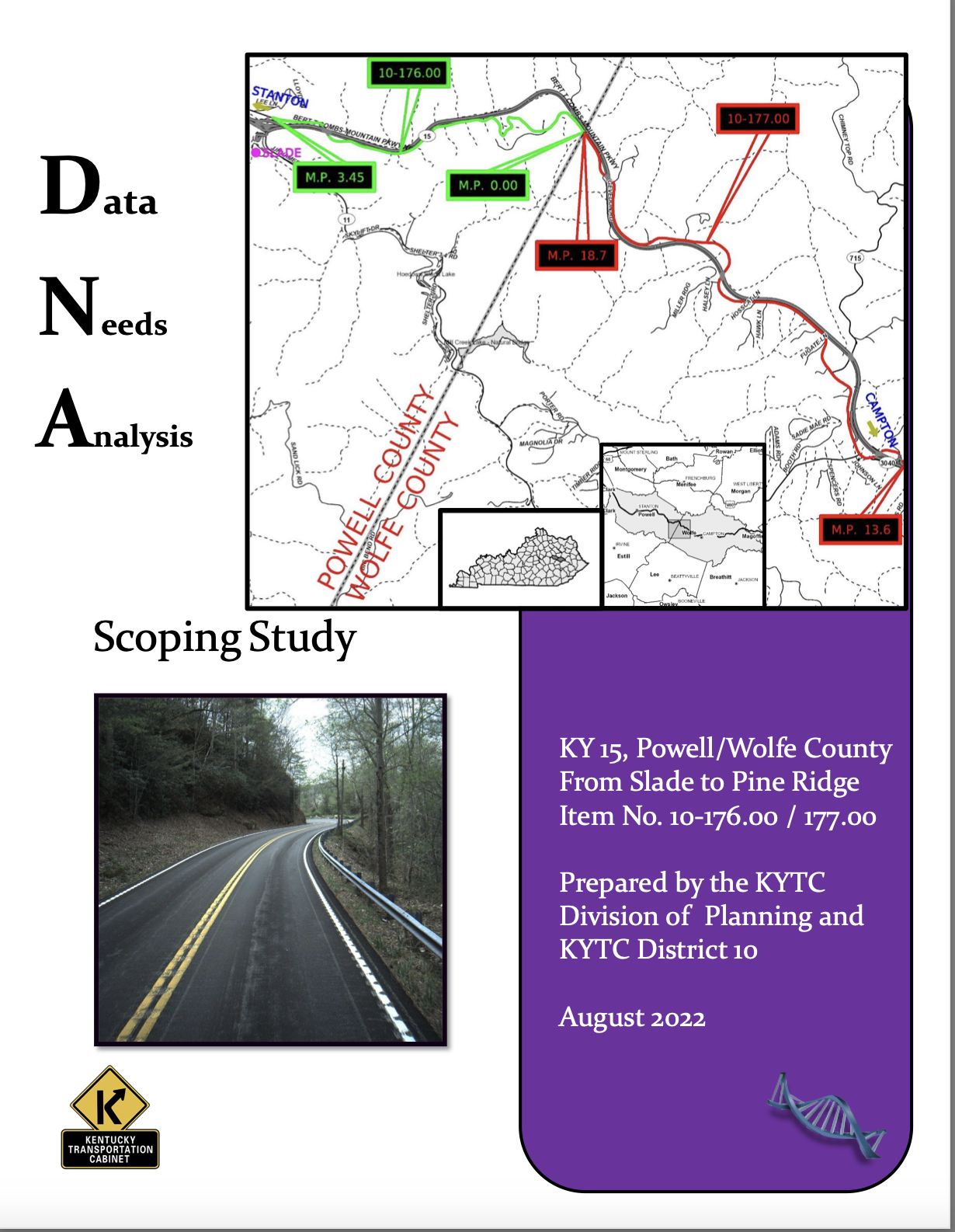
During the Planning phase, project management often involves managing planning studies that feed into other phases of project development. These studies include small urban area (SUA) studies, corridor studies, and Data Needs Analysis (DNA) studies. Technical transportation studies used to determine conceptual scoping parameters are described in the Planning Guidance Manual (PL-704).
As project development efforts become more deeply tied to the project purpose and scope identified in District-led DNA studies, District Planning Supervisors and staff may be designated as Project Managers (PMs) to guide preliminary engineering activities along a path consistent with the conceptual scope. Alternatively, the District may assign a Design PM to be part of the planning study team. Whenever practical, early involvement of the PM responsible for developing the planning study helps ensure that the initial project vision is effectively communicated and pursued.
PMs — regardless of their location — benefit from resources provided by the Division of Planning and District planners. Planners collect, analyze, and manage roadway data, provide subject-matter expertise in traffic forecasting and Complete Streets, participate in Metropolitan Planning Organization (MPO) and Area Development District (ADD) processes, and are often the first point of contact for local officials and stakeholders when a project originates.
Small Urban Area (SUA) studies:
Evaluate and provide recommendations for transportation networks in small urban areas.
Corridor studies:
Evaluate proposed roadway segments, existing roadway improvements, and identify and prioritize projects for future funding.
Data Needs Analysis (DNA):
Studies are concise studies with a consistent format that help define the project scope. They are typically completed prior to advertising a project for consultant services.
KYTC’s Division of Planning oversees statewide consultant contracts for Planning Services, Planning Traffic Modeling, and Traffic Forecasting. On projects that benefit from larger or more complex studies, consultants are selected through the Professional Services process. For more information on the consultant management of the Division of Planning’s projects, see PL-206 in the Planning Guidance Manual.
Planning studies provide background information and conceptualize an appropriate improvement concept at a prescribed level of detail. Planning studies are not usually completed for maintenance, Highway Safety Improvement Program (HSIP), or most asset management projects. Corridor studies are most commonly prepared in the early stages of a capital improvement project to better identify the scope, schedule and estimated cost of the project. Planning studies may be funded through the Planning Work Program with State Planning and Research (SPR) funds. They may also be included in the Enacted Highway Plan with designated funds in a planning (P) phase or as part of the preliminary design (D) phase to better define the project scope. For more information on how a project begins, see the PM Guidebook articles Understanding the KYTC Budget and the Highway Plan and Project Initiation. DNA studies are completed on projects that were not part of a previous planning study and usually have narrower scopes. They are typically completed by the District PM in coordination with the Division of Planning prior to advertising a project for consultant services.
Planning study activities may include:
- Drafting a purpose and need statement (see Project Scoping)
- Identifying major environmental issues, including environmental justice concerns (see Project Management and NEPA)
- Initiating consultation with local officials
- Initiating interagency (i.e., federal, state, tribal, regional, and local government) coordination
- Conducting appropriate levels of public involvement (see Public Involvement with Customers and Stakeholders)
Planning studies involve identifying and evaluating an improvement concept, generating preliminary cost estimates (design, right of way (ROW), utilities, construction), and recommending phasing priorities, as appropriate. Generally, studies are co-managed by KYTC’s Division of Planning and the District Planning staff. The Cabinet works with ADDs and affected MPOs to deliver these studies. ADDs and MPOs, with coordination from KYTC planners, may also initiate planning studies with federal allocations and local matches. Completed KYTC studies are available on the Division of Planning’s website.

Red Flag
PMs should take advantage of resources offered to them by the Division of Planning. In addition to early project scoping efforts, the division:
- Manages project data
- Provides traffic forecasts
- Has subject-matter experts (SMEs) who specialize in forecasting and Complete Streets
The following subsections summarize PM resources available from the Division of Planning. For more resources, visit the Division of Planning Technical Support Resources webpage.
4.1 Data
The Division of Planning collects, analyzes, and/or manages data that can assist PMs. The PMGB article Project Initiation describes most of these data. Key data sources are summarized below.
- KYTC’s Highway Information View and Extract Interface (HIVEi) is a key source for data on existing facilities. The database stores information on roadway systems throughout the state and includes data on location, roadway feature type (e.g., mainline, ramp), pavement, traffic, and bridges.
- The CHAF database and SHIFT data include initial documentation for projects listed in the Enacted Highway Plan and data used to help prioritize capital projects. The CHAF Database may be accessed through the Project Delivery Platform for those with access permissions.
- Historical and current traffic counts are available for state-maintained roadways. Counts are available on country roadways with an inventoried bridge.
- Traffic speed, origin-destination, and travel demand data may also be available from the Division of Planning.
4.2 Traffic Forecasts and Special Counts

PMs may request traffic forecasts using forms available on the Traffic Forecasting website. They should submit their requests to either the Forecasting and Modeling Team Leader or the Modal Programs Branch Manager in the Division of Planning. The Traffic Forecasting Website also contains forms that are used to request special counts (e.g., turning movement counts). PMs should request traffic forecasts and special counts early in the project development process.
4.3 Coordination with Local Governments
The Division of Planning houses the liaisons between the ADDs and MPOs. District Office planning staff also routinely interact with these organizations. ADDs and MPOs are involved in the creation and prioritization of projects. KYTC District Office planning staff are also good sources of information for the needs and goals of projects and often work with local governments to develop projects.

Red Flag
4.4 Roadway Transfers, Closures and Abandonment
Occasionally, as part of the project development process it may be appropriate to transfer a road or roads from the State Primary Road System (SPRS). Examples of roadway segment changes include but are not limited to:
- New roadways assigned a state or federal route number
- Sections of old roadways bypassed or remaining as approach roads or frontage roads
- Entrances to private properties or cemeteries
- Other roadway segments no longer germane to the state-maintained system
To transfer roadway segments, an official order request must be submitted to the Division of Planning Transportation Systems Branch. The Planning Guidance Manual (PL-603) contains detailed information on this process.
Note: For projects that result in the relinquishment of ROW that was originally bought with federal funds, or if the project was constructed with federal funds, the provisions of 23 CFR 620.203 apply. KYTC must develop the appropriate documentation and obtain approvals required by the Federal Highway Administration (FHWA), as stipulated in 23 CFR 620.203.
4.5 Complete Streets Coordination
Kentucky’s Complete Streets, Roads, and Highways Policy requires that KYTC include appropriate facilities to meet the needs of all users of the transportation system when the agency plans, builds, and reconstructs its streets, roads, and highways. Complete Streets users include, but are not limited to motorists, bicyclists, pedestrians, transit riders, and freight drivers.
Contact the State Bicycle and Pedestrian Coordinator in the Division of Planning with questions on Complete Streets implementation. Additional information is available through the Complete Streets Program Website.

Project Management Guidebook Knowledge Book:
Access the complete Knowledge Book here: Project Management Guidebook Knowledge Book
Next Article: Project Management & NEPA
Previous Article: Effective Communication in Project Management

